Documenting
Wildlife Roadkills
Across India
A citizen-science open access platform for documenting, mapping and understanding wildlife mortality on Indian road network
Core Objectives
What We Do
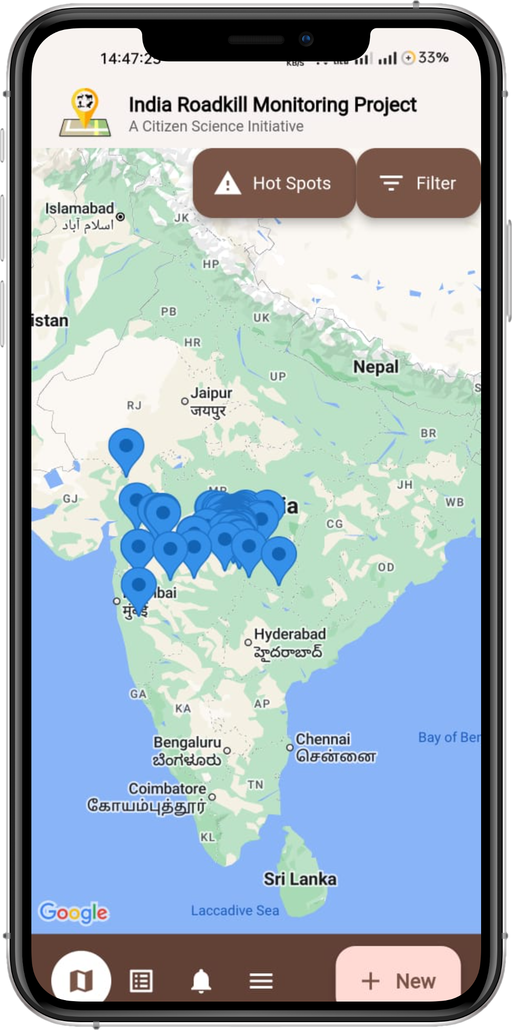
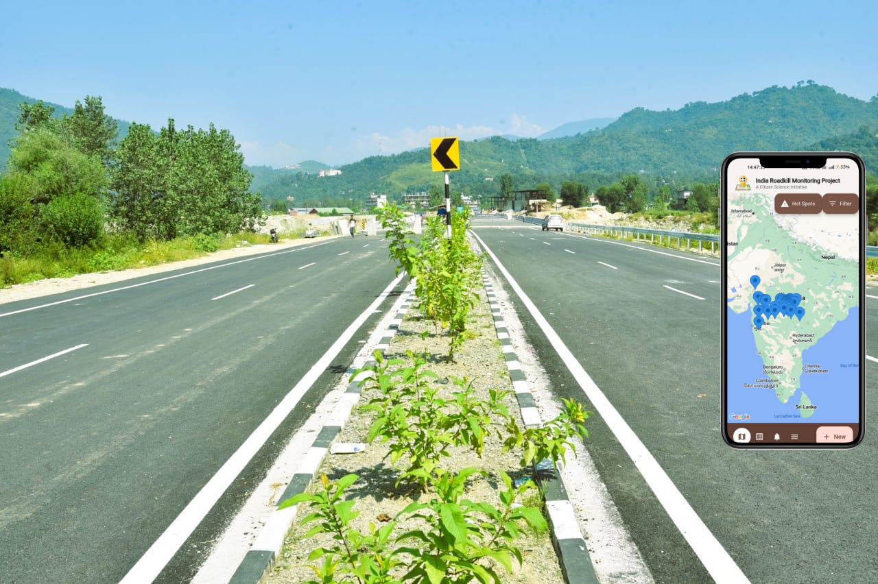
We collect and analyse georeferenced observations of wildlife roadkill across the road network of India.
Why This Data Matters
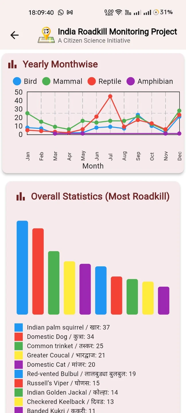
Every roadkill record reported to IRMP contributes to a growing database of wildlife mortality associated with roads. This database continues to build an increasingly diverse representation of species and taxonomic groups while helping to identify spatial and temporal patterns and potential roadkill hotspots that can support research and conservation.
How to Contribute
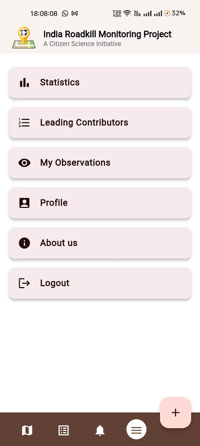
Download the IRMP app and safely report wildlife roadkill observations from roads and railways across India. Submit a photograph and other available information to contribute to the IRMP database.
Wildlife Observed & Reported
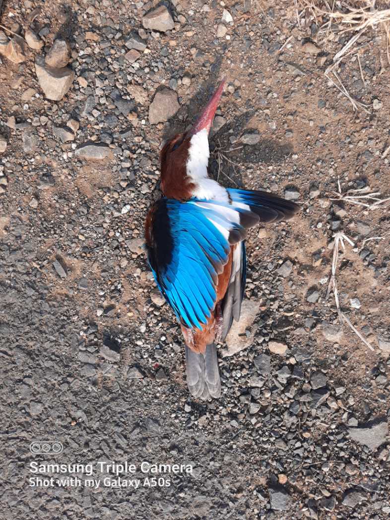 Bird
BirdWhite-Throated Kingfisher
खंड्या
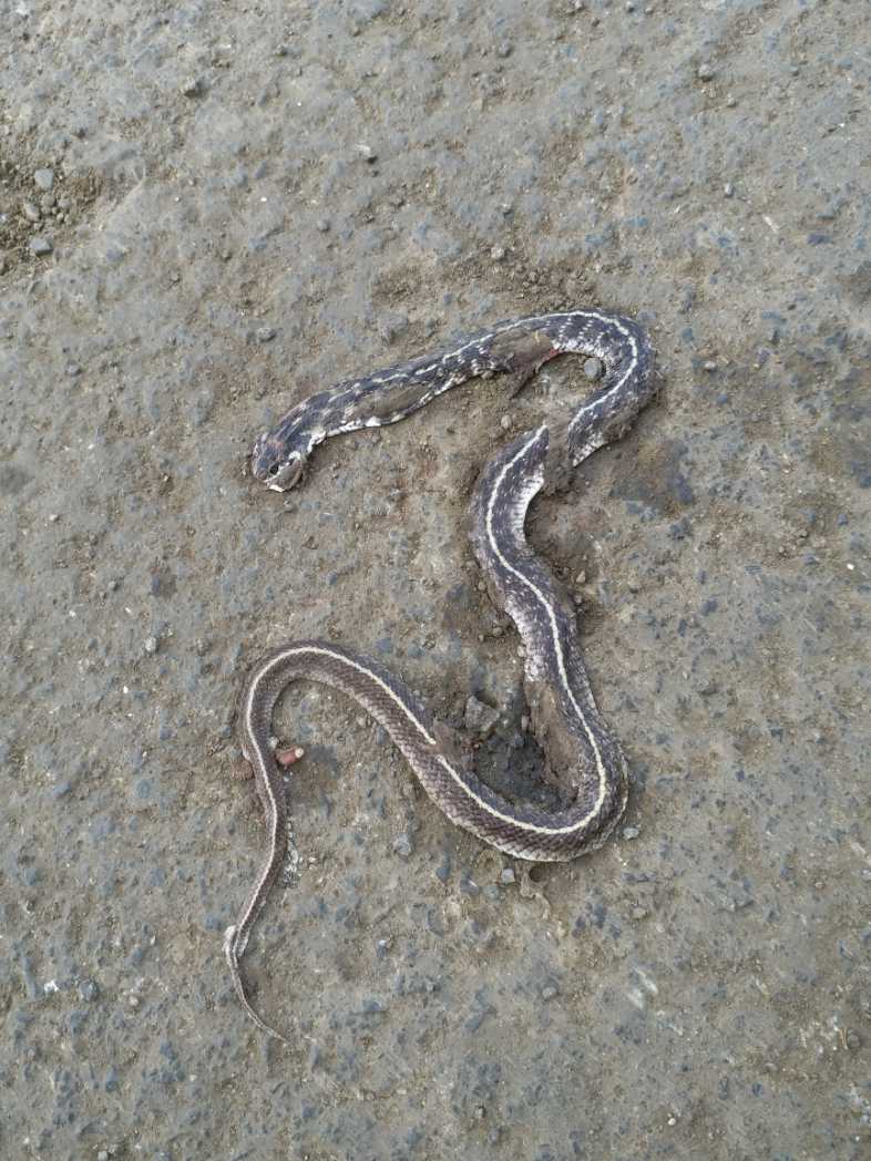 Reptile
Indian Egg-Eater
भारतीय अंडीखाऊ
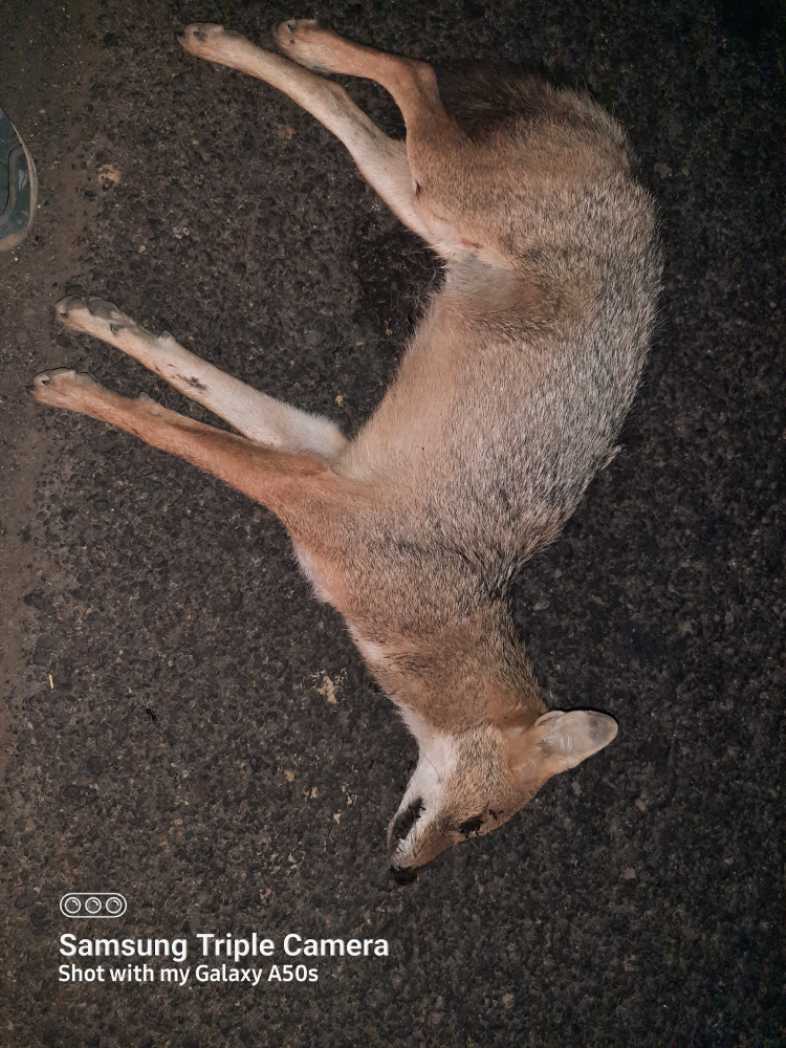 Mammal
Indian Golden Jackal
कोल्हा
Top Contributors
Meet the dedicated citizen scientists who are making a real difference by reporting roadkill incidents and helping us map wildlife corridors across India.
You Can Make a
Real Difference
Download the free app and report wildlife roadkill incidents whenever you spot them. Every observation is geotagged and added to our live database to create actionable conservation maps.
- GPS-geotagged incident reporting in seconds
- Photo upload with species identification
- Works offline — syncs when connected
- Real-time contribution to the live hotspot map